The 17th Century: Colonies and Conflict
Prior to the naming of our modern-day towns in this region, which happened in the late 17th and early 18th centuries, the geographic area between the Ogunquit and Kennebunk Rivers (all the way to Cape Porpoise), was known as Nampscoscocke (spellings vary in old records). It was inhabited most likely by the Almouchiquois, a distinct indigenous tribe that brought agriculture to the area and existed in southern Maine and northern Massachusetts.
By 1524, European explorers were in the Gulf of Maine. However, the earliest known instance of exploration off the coast of the Kennebunks is the 1602 visit of the Englishman Bartholomew Gosnold. Other English explorers were enticed to come to the Southern coast of Maine by reports of Gosnold’s voyage that were printed in England. In 1603, a group of merchants set out from Bristol, England, under the command of Martin Pring. Pring’s pilot was the same who sailed with Gosnold. As part of their journey they explored four rivers, one of which was either Kennebunk or the Mousam River.
In 1604, Sieur de Monts and French Royal Geographer, Samuel Champlain, along with a crew of about 20 sailors explored the coast of Maine while looking for a favorable location for a French Colony. One of the spots on which they landed was current-day Cape Porpoise, then named by Champlain, “Le Port aux Isles.”
Champlain is also credited with observing the distinct differences in native tribes inhabiting the area at the time. He differentiated the groups as Souriquois (assumed to be describing the Micmac tribe); Etchemin (assumed to be Maliseet and Passamaquoddy) and Almouchiquois, the people living on the coast of New England south of the Kennebec River all the way to the Massachusetts Bay colony.
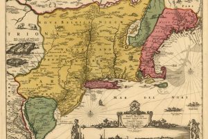
- A 17th-century map shows New England as a coastal enclave extending from Cape Cod to New France, 1685. Library of Congress
Historian Edward Bourne on the First Settlers in Maine
“While Puritanism presented many worthy elements of character, there was very little of it in Maine. Those who first located themselves here, were not refuges from any religious intolerance. They left England not for the enjoyment of religious liberty, but rather from those motives which impel men to any undertaking which may lead to monetary acquisition.”
Around the same time, intertribal wars caused serious losses for the Almouchiquois. Not only were they losing their land to new European settlers, but their population weakened due to war, famine and illness. By 1620, the once prosperous region was almost cleared of Almouchiquois members due to the attacks by both other tribes and Europeans. Visitors and explorers often noted in their letters and journals the absence of native peoples and the haunting remains of former villages.
Professor Emerson Baker, Salem University
Sachem Thomas Chabinock sold land ‘‘called by the name Nampscoscocke, bounding between Noguncoth [Ogunquit] and Kennebunke [Rivers], and up as hy as Cape Porpus ’’ to John Wadleigh of Wells. Several members of Chabinock’s family witnessed this deed: his mother, Ramanascho, his sister Nell, and Nell’s husband, ‘‘Sassagowhaway.’’
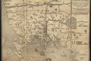
- This map was the first to be printed in the British Colonies. It is based on a 1665 survey by Bostonian William Reed, it was repurposed to illustrate William Hubbard’s Narrative of the Troubles with the Indians in New England. The Narrative described King Philip’s War of 1675-76.
In 1653, the town of Wells was established as the third incorporated “town” in the District of Maine in the Massachusetts colony. The town’s secondary village of Kennebunk would slowly build over the next fifty years, and be named its own distinct village in 1717 (the town of Wells eventually split into two – Wells and Kennebunk – in 1820).
Settlers here worked very hard, from morning until night. They planted crops, fished, and built homes and mills. They depended on local successes to continue their livelihoods, whether it was supporting the settlement or shipping materials back to Europe.
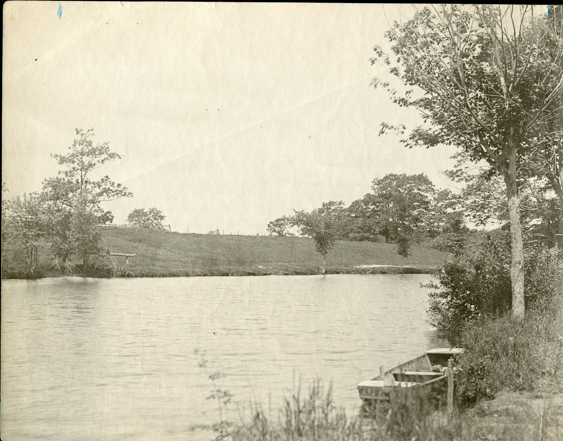
According to scholars and archaeologists in southern Maine, European and intertribal warfare in the 17th Century established the “no man’s land” for native peoples who lived here in the Kennebunk region. There are few notes on the existence of tribal members in the late 17th Century, including the Dony family, who were sachems in the 1680s. Because populations had been so decimated, tribes intermarried and dispersed. The Dony family, for instance, intermarried with the Pennacook (a Massachusetts tribe) and the Androscoggin. At the time, Dony’s village in Kennebunk had shrunk to just a few households. In a map sketch drawn sometime during King William’s War (1688–97), it indicates that “Doney” had only eight men at Kennebunk.
It bears repeating that this does not mean native Maine peoples have disappeared. We have many tribal members living in our communities today; and we look forward to furthering the collection of this history and culture.
In next month’s feature, we’ll explore how the “ownership” of Maine played a central role in the wars fought by the French, English, and Native Americans in the 18th Century. This not only fueled the colonies’ quest for independence, but Maine’s hope of separation from Massachusetts.
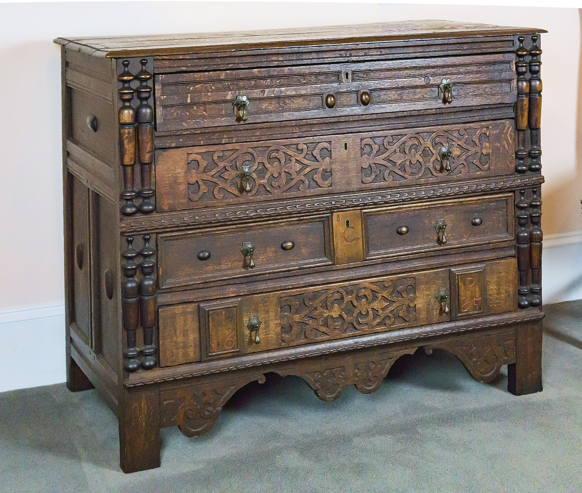
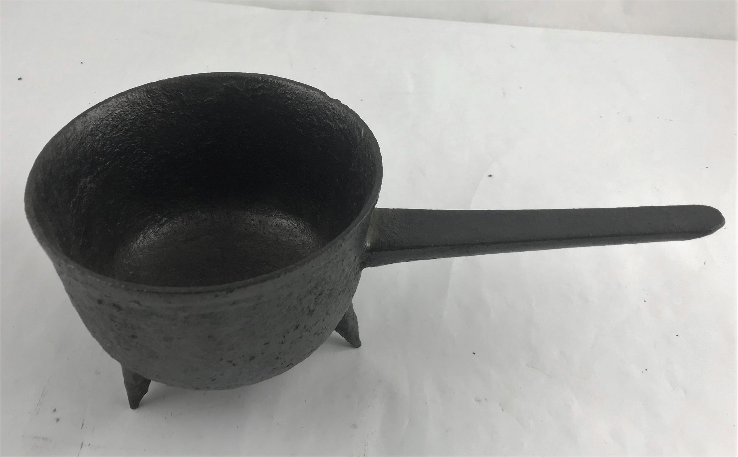
From the Brick Store Museum’s Collection

