The Indigenous Story of Southern Maine
We have included in the database as much information about Indigenous individuals as we’ve been able to locate, including entries for Ramanascho, Sasagohaway. and Wane Doney, along with those with […]
We have included in the database as much information about Indigenous individuals as we’ve been able to locate, including entries for Ramanascho, Sasagohaway. and Wane Doney, along with those with […]
In 1780, when the Massachusetts Constitution went into effect, slavery was legal in the Commonwealth of Massachusetts, of which Maine was a part until 1820. During the years 1781 to […]

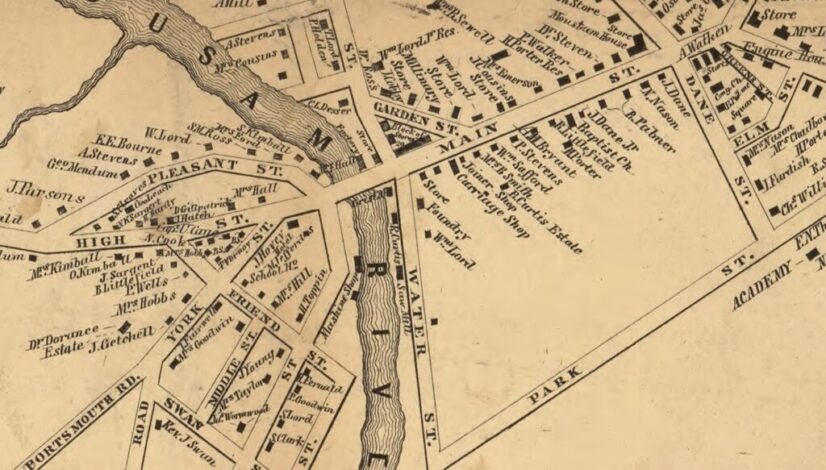
The two most complete sets of historic maps of the area are from 1856 and 1872, when maps were created for all York County towns. The 1856 set, Map of […]

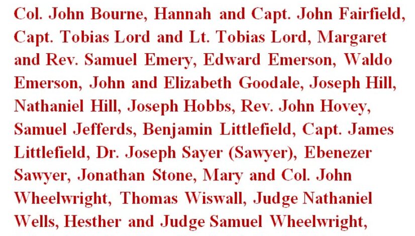
– That People of Color were enslaved by many of the area’s most prominent citizens? They included Col. John Bourne, Hannah and Capt. John Fairfield, Capt. Tobias Lord and Lt. […]
Here are some examples of how slavery was not uncommon amongst the prominent businessmen of early Wells (which included Kennebunk until 1820). “In 1728, a grant was made, by the […]
On March 20, 1830, the following statement came forth from the White House: “Whereas it has been represented to me that the American Brig Volant … belonging to Adam Stone […]
Thomas Wells (1672-1737) and John Wells (1670-1748) were brothers, and the sons of John Wells. They were prominent citizens of the town of Wells. They both enslaved “servants” and passed […]
Sheppard Bourn was the son of Salem and Peggy. His father Salem (DOB 1755) had been enslaved by John Bourne (1708-1788), the “ancestor of all the Bourne families in Wells […]
The First Enslaved Person in “Arundel” was paid for by the Town. “In August 1729, the town by their vote dismissed Mr. Eveleth from his relation to them as a […]