Historic Maps of the Local Area
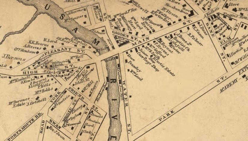
The two most complete sets of historic maps of the area are from 1856 and 1872, when maps were created for all York County towns. The 1856 set, Map of […]

The two most complete sets of historic maps of the area are from 1856 and 1872, when maps were created for all York County towns. The 1856 set, Map of […]

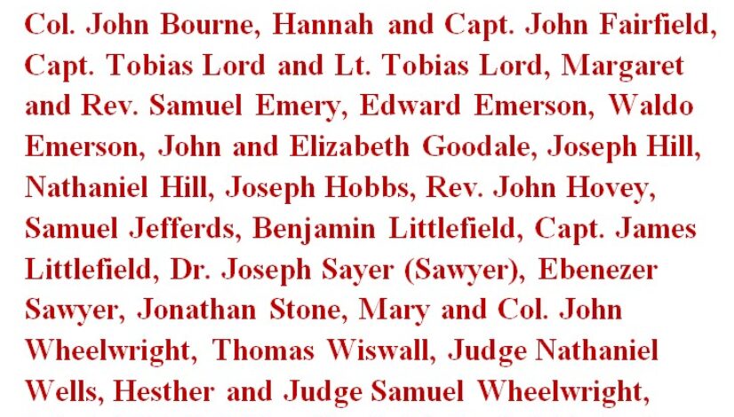
– That People of Color were enslaved by many of the area’s most prominent citizens? They included Col. John Bourne, Hannah and Capt. John Fairfield, Capt. Tobias Lord and Lt. […]